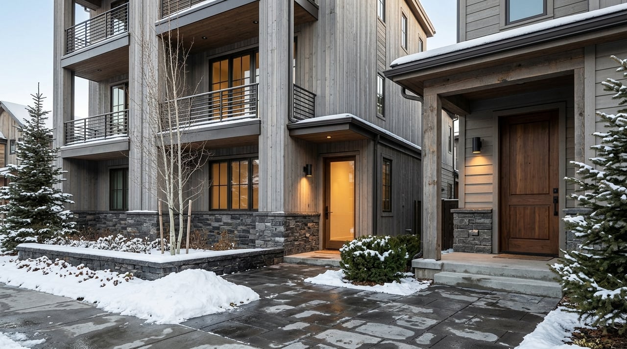
A big view can make a Telluride-area parcel unforgettable, but views alone do not tell you whether the land will work for your plans. If you are considering acreage near Telluride, you are likely weighing privacy, scenery, and long-term value while also trying to avoid costly surprises. The good news is that a focused due diligence process can bring clarity early. Let’s dive in.
Start With Jurisdiction
The first question is not how pretty the lot is. It is which jurisdiction controls the property. Near Telluride, acreage may fall within the Town of Telluride, the Town of Mountain Village, or unincorporated San Miguel County, and each follows a different review path.
In the Town of Telluride, development review can involve the Planning & Zoning Commission, and many structure or sign-related actions also require review by HARC before permit actions move forward. Town planning staff also note that review is guided by master-plan goals and design resources. That means design, use, and approval timing should be evaluated early.
In Mountain Village, a separate Community Development Code applies. The town’s Planning and Development Services department enforces zoning, design, and building regulations, and the Design Review Board serves a central role in architectural and planning review. Mountain Village’s application materials also show that applicants may be responsible for attorney fees, outside consultant fees, and recordation costs tied to development review.
In unincorporated San Miguel County, planning staff oversee land use and development issues, and the county uses SmartGov for permits. County guidance states that a Development Permit can include Planning, Building, OWTS, and Road & Bridge requirements. For you, that often means several departments may need to weigh in before a project is truly feasible.
Confirm Legal Access Early
For view acreage, access is often the first true buildability test. A parcel can look ideal on a map and still present major challenges if legal or physical access is unclear.
Telluride’s land-use code states that a new use or change of use cannot proceed without adequate vehicular access. If access depends on a private road or driveway, the lot owner must have an easement or legal right to cross private land, or a permit to cross public land. The code also requires a recorded maintenance waiver for private access that the Town does not maintain.
In San Miguel County, access to a county road requires a driveway permit through Road & Bridge. The county reviews the proposed location for sight distance and approach conditions before detailed design is submitted. The county also notes that winter conditions may limit work in the public right-of-way, and a new or amended permit may be needed if traffic patterns or use change materially.
This matters for more than convenience. Access can shape driveway length, grading, construction cost, emergency approach, and even whether a homesite can move forward at all.
Why access deserves extra attention
A few practical questions can help you size up access risk:
- Is there a recorded easement for the existing or proposed route?
- Who maintains the private road or driveway?
- Is a maintenance waiver or shared-road obligation recorded?
- Will the driveway need county review for sight distance or road approach?
- Could seasonal conditions delay access work?
In unincorporated county areas, even the address may not be assigned right away. San Miguel County states that addresses are generally assigned during development review, not to vacant land at closing, and are typically issued once a driveway has been constructed and passed inspection.
Review Water and Wastewater Options
Utilities can vary widely from one parcel to the next. Some properties may have access to municipal systems, while others may depend on a well and on-site wastewater treatment.
Within Telluride, the town administers water and wastewater service for residents and businesses in town limits and some nearby communities, with monthly billing for water, sewer, trash, and recycling. Mountain Village also maintains local water and sewer service and publishes water and sewer rates. If a parcel appears close to service, you still want to understand whether connection is actually available and what extension or tap costs may apply.
If public sewer is not available, then OWTS rules become important. Colorado regulates on-site wastewater treatment systems under Regulation 43, and San Miguel County states that OWTS permits are issued through the Development Permit process and are required in all zone districts through the Public Health Department. In simple terms, septic feasibility should be treated as a core part of land evaluation.
If the parcel will rely on a well, the Colorado Division of Water Resources provides permit applications for new and replacement wells. The agency also notes that some groundwater and river basins have special use and measurement rules. San Miguel County’s permit guidance also confirms that a DWR well permit is required when water service depends on a well.
Utility questions to answer before you close
- Is public water available, and if so, is a tap or extension needed?
- Is public sewer available, or will the site require OWTS approval?
- If a well is needed, what permit path applies?
- Are utility extensions likely to affect budget or timing?
- For subdivision potential, are public water and sanitary sewer required?
That last point is especially important in Telluride. The town’s land-use code requires public water and sanitary sewage facilities for subdivisions, which can materially change feasibility on larger tracts.
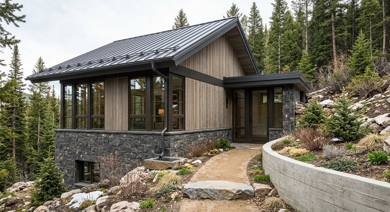
Study Slope, Drainage, and Site Conditions
A dramatic view often comes with dramatic terrain. In the Telluride region, the shape of the land can have a direct effect on design options, engineering complexity, cost, and review requirements.
Telluride’s design guidelines state that site drainage should be detained on-site and that cuts and fills on steep slopes should be minimized where possible. The town’s subdivision standards also call for identification of environmental conditions such as groundwater tables, slope steepness, erosion issues, and flood-prone areas, along with grading and utility layout information. That tells you a lot about how seriously topography is treated during review.
Mountain Village’s design-review materials also emphasize site conditions, including access and technical submittals. A parcel with a wide-open view may still require retaining walls, drainage improvements, grading work, or utility coordination before a home can be built efficiently.
Site conditions that often affect cost
When you evaluate acreage, pay close attention to:
- Steep slopes and the amount of grading required
- Drainage patterns and on-site detention needs
- Erosion concerns
- Potential retaining or structural support work
- Utility routing across difficult terrain
- Flood-prone areas or groundwater concerns
These are not small details. They often determine whether a property remains a compelling opportunity once real construction numbers come into focus.
Check Recorded Restrictions Carefully
Recorded restrictions can shape what you can do with acreage just as much as zoning. On larger parcels, this part of the review deserves special attention.
San Miguel County’s Land Heritage Program is a purchase-of-development-rights program that retires development rights and places a conservation easement on the property. The county also notes that a complete title search may be necessary because later documents in the chain of title can change which deed restriction applies. That means a quick review of the original deed is not always enough.
Private road obligations, access easements, HOA covenants, plat notes, and historic or design overlays can also affect how land is used or maintained. If a parcel depends on private access, maintenance duties and recorded waivers may become part of your ownership responsibility.
Consider Flood and Wildfire Rules
Mountain acreage brings environmental review factors that deserve a place in your early diligence checklist. Two of the most important are floodplain rules and wildfire requirements.
Telluride participates in the National Flood Insurance Program and enforces floodplain management through its land-use code. If part of a parcel falls in a flood-prone area, that can affect siting, design, and future permitting considerations.
San Miguel County states that it adopted the Colorado Wildfire Resiliency Code on April 1, 2026, with enforcement beginning July 1, 2026. County wildfire resources also emphasize defensible space, emergency access, and mitigation planning. For you, that means wildfire readiness is not just a design preference. It can be part of the approval and development conversation.
Build Your Buyer Team Early
Buying view acreage near Telluride often requires more than a standard property review. The right advisor team can help you identify issues before they become expensive surprises.
A surveyor can help confirm boundaries, easements, driveway alignment, and whether plat notes or right-of-way limits affect the buildable area. This is especially useful where legal access and road approach details are central to the site’s viability.
A civil engineer or geotechnical consultant can weigh in on slope, grading, drainage detention, retaining work, and utility extension challenges. On mountain parcels, those technical issues often have a direct effect on both budget and entitlement strategy.
A land-use attorney or title company can help determine which code, restriction, conservation easement, covenant, or maintenance obligation applies. This is particularly important where deed restrictions may have changed over time or where private review costs and obligations need to be understood before purchase.
Use a Simple Feasibility Sequence
When you strip away the scenery and marketing language, most successful land evaluations near Telluride follow the same order. Start with the rulebook, then work outward toward design and cost.
A practical sequence looks like this:
- Jurisdiction
- Legal access
- Water source
- Wastewater method
- Topography and drainage
- Recorded restrictions
If those six items check out, you can move from a beautiful parcel to a workable project with much more confidence. That process does not remove every unknown, but it does help you make disciplined decisions in a market where mistakes can be costly.
Buying acreage with a view near Telluride should feel exciting, not uncertain. With the right diligence and local guidance, you can separate parcels that are simply scenic from parcels that truly fit your goals. If you are evaluating land, ranch property, or a complex view-driven homesite in the region, the team at O'Neill Stetina Group can help you approach the opportunity with precision and discretion.
FAQs
What is the first due diligence step for buying acreage near Telluride?
- The first step is confirming whether the property is in the Town of Telluride, Mountain Village, or unincorporated San Miguel County, because each jurisdiction has its own land-use and review process.
Why does legal access matter for Telluride-area acreage?
- Legal access matters because a parcel may not be usable for your intended project without proper vehicular access, recorded easements, and any required driveway or road approvals.
How do water and sewer service work for view parcels near Telluride?
- Some parcels may connect to municipal water and sewer, while others may require a well permit and OWTS approval through the county development process.
What site issues can increase the cost of building on Telluride-area land?
- Steep slopes, drainage detention needs, grading, erosion concerns, retaining work, and utility routing can all add complexity and cost.
Are deed restrictions important when buying San Miguel County acreage?
- Yes, deed restrictions, conservation easements, plat notes, and private covenants can affect development rights, maintenance obligations, and overall buildability.
Do flood and wildfire rules affect acreage near Telluride?
- Yes, floodplain management rules in Telluride and wildfire resiliency requirements in San Miguel County can influence future siting, design, access, and mitigation planning.